
Reverse Image Location
AI photo geolocation tool that estimates where an image was taken and explains visible clues for OSINT and GeoGuessr-style practice.
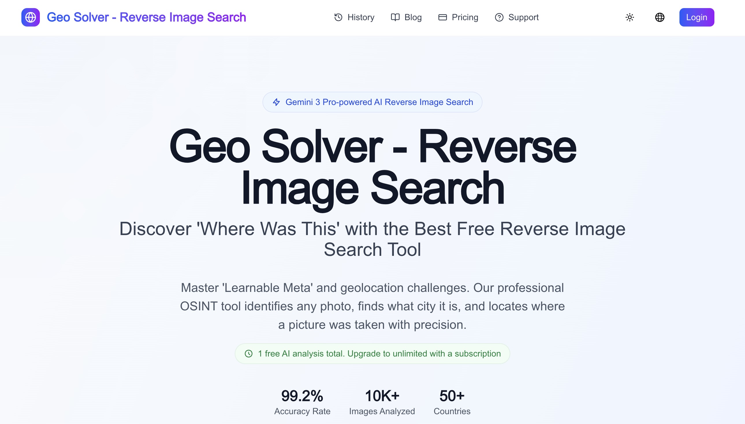
Reverse Image Location is an AI-assisted photo geolocation tool for people who need to reason from visual scene clues instead of treating one reverse image search result as proof. Users upload a photo and receive a structured location analysis that explains signs, road markings, vegetation, architecture, terrain, shadows, map context, and other visible evidence.
The tool is useful for GeoGuessr practice, OSINT research, travel research, journalism workflows, and visual verification. It helps users form hypotheses, compare likely regions, and cross-check results with maps, satellite imagery, reverse image search, and sun or shadow clues. It is designed as a reasoning assistant, not an authoritative location proof, so every result encourages verification and transparent thinking.
Select tools to compare (max 3):
| Feature |
Reverse Image Location ★
|
|---|---|
| Pricing Model | Free + Paid |
| Starting Price | Free |
| Free Tier | ✓ Yes |
| Verified Listing | ✕ No |
| Category | AI & ML |
| Platform | Web |
| Visit | Open → |
💡 Data sourced from tool listings and user reviews. Visit each tool's official website for the latest details. See all 16 alternatives →
Be the first to share an article or video about Reverse Image Location.
Sign in to submit newsDiscover what your tool can do for you
- 5 daily credits
- Public projects
- Unlimited collaborators
Designed for fast-moving teams building in real time
- 100 monthly credits
- 5 daily credits (up to 150/mo)
- Usage-based Cloud + AI
- Credit rollovers





Not sure Reverse Image Location is right for you? Browse the best alternatives in the AI & ML category — compare features, pricing, and reviews.



Looking for alternatives to Reverse Image Location?
Explore 16 similar tools in the AI & ML category
